Pico Duarte
The Roof of the Caribbean in the Cordillera Central
/PEE-koh DWAHR-teh/
Pico Trujillo
Definition
Pico Duarte is the highest mountain in the Dominican Republic and throughout the entire Caribbean, rising from the heart of the Cordillera Central.


Overview
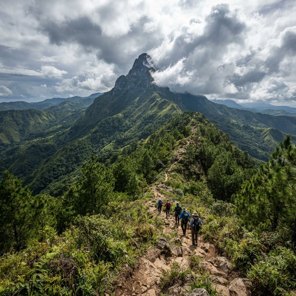
Pico Duarte towers over the Cordillera Central, the great mountain backbone of the island. It is the highest summit in the insular Caribbean and a powerful geographical symbol of the country. The ascent routes wind through high-altitude pine forests, rolling mists, and landscapes that shift dramatically with elevation. The mountain bears the name of Juan Pablo Duarte, one of the founding fathers of Dominican independence.
Natural and cultural significance
Its significance is both geographical and symbolic: it marks the highest point of the archipelago and represents the mountain dimension of a country more often associated with beaches alone. It forms part of protected areas that preserve high-altitude forests and the headwaters of the island's most important rivers.
Main features
The summit is reached via multi-day routes requiring guides, mules, and proper mountain equipment. The trail passes through mountain shelters and offers sweeping views of pine forests, valleys, and — on clear days — distant plains far below.
Landscape and ecosystem
Caribbean pine forests dominate the upper elevations, with soils and climates quite unlike those of the coast. The mountain slopes collect rainfall that feeds several of the island's major rivers.
Wildlife
The high-altitude fauna includes endemic bird species and small mammals, with biodiversity that differs considerably from that found in coastal zones.
What visitors should know
The ascent demands physical fitness, appropriate equipment, and as a rule the company of local guides. Weather conditions can change rapidly at altitude.
How the place is accessed
The standard routes set off from the Jarabacoa region or from La Ciénaga, with local operators and guides who organise multi-day expeditions.
Responsible visiting
Stay on marked trails, leave no trace, and avoid disturbing the high-altitude vegetation. Hire local guides for a safe and responsible visit.
Jarabacoa
Jarabacoa is the usual base for organising expeditions into the mountains of the Cordillera Central.
JarabacoaRelated dictionary entries
Parque Nacional Valle Nuevo
Parque Nacional Valle Nuevo is a high-altitude protected area in the centre of the country, featuring pine forests, cold highland plains and river headwaters, near Constanza.
Salto El Limón
Salto El Limón is a waterfall on the Samaná Peninsula in the northeast of the country, reached on foot or on horseback through lush tropical vegetation.
Frequently asked questions
Where is Pico Duarte located?
It lies in the Cordillera Central, in the heart of the Dominican Republic, and is typically approached from Jarabacoa or La Ciénaga.
How high is Pico Duarte?
It is the tallest mountain in the Caribbean; the exact figure varies slightly by source, but it stands at roughly 3,000 metres above sea level.
Do you need a guide to climb it?
Yes — the standard approach is to make the ascent with local guides, proper equipment, and several days set aside for the route.